Category: Fort Lauderdale
-

Union Express
Fast Facts: Features: Need Gear? Download all Fort Lauderdale GPS Coordinates The 170-foot Union Express was sunk in 1992 to foster the formation of an artificial reef. This site was originally named the Mariner Outboard/Pompano Rodeo Artificial Reef, and is located 1.5 miles due east of the Pompano Pier. The Union Express was confiscated by…
-
The Caves / Twin Ledges Moorings
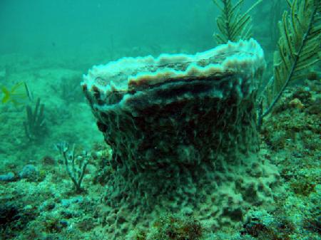
Fast Facts: Features: Need Gear? Download all Fort Lauderdale GPS Coordinates A shallow series of ledges located about 2 miles north from the Port Everglades Inlet. A system of 16 moorings mark a broken ledge varying in depth from 20 to 30 feet. This area makes for an easy second after visting the deeper nearby…
-
Tenneco Towers
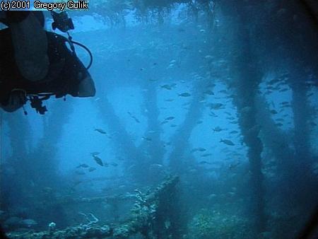
Fast Facts: Features: Need Gear? Download all Fort Lauderdale GPS Coordinates Tenneco Towers, the largest artificial reef in southeast Florida, was created in 1985 when the Tenneco Oil Company sank five large sections of oil production platforms. The decommissioned oil platforms were transported by barge and sunk in a straight east-west line, each a little…
-

Spotfin Reef
Fast Facts: Features: Need Gear? Download all Fort Lauderdale GPS Coordinates Spotfin Reef lies 1.25 miles northeast of the Port Everglades Inlet. This natural reef contains a ledge which begins at 50 feet and drops to a sandy bottom at 65 feet. The ledge has many crevices and caves which protect sea life. Many varieties…
-
Rodeo Divers Artificial Reef
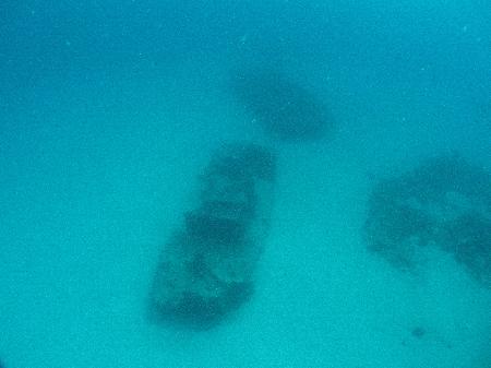
Fast Facts: Features: Need Gear? Download all Fort Lauderdale GPS Coordinates This artificial reef is located 1.5 miles due east of Pompano Pier. This site is a collection of at least eight wrecks which have come together to assist in the formation of the reef. Two 32-foot tug boats known as the Qualmann Tugs rest…
-
Rodeo 25
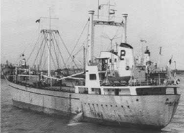
Fast Facts: Features: Need Gear? Download all Fort Lauderdale GPS Coordinates This site gets its name from the sinking of the Windward Trader in May 1990 in celebration of the 25th anniversary of the Pompano Beach Rodeo. This 215-foot twin-masted Dutch Freighter lies 1.5 miles due east of the Pompano Pier in 122 feet of…
-
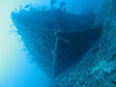
Rebel
Fast Facts: Features: Need Gear? Download all Fort Lauderdale GPS Coordinates This Dutch freighter was built in 1947 and named Cornelis. Her name changed several times beginning with when she was sold in 1981 and renamed Island Transported. She was later named St. Andrea but was confiscated for drug smuggling. At a federal auction, she…
-
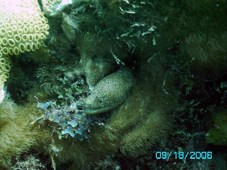
Oakland Ridge Moorings
Fast Facts: Features: Need Gear? Download all Fort Lauderdale GPS Coordinates About three miles north of the Port Everglades Inlet lay the Oakland Ridge moorings. This series of 15 mooring is a marker for a ledge located 18 to 28 feet down. Several caves and crevices provide homes to glassy sweepers and snook. This is…
-
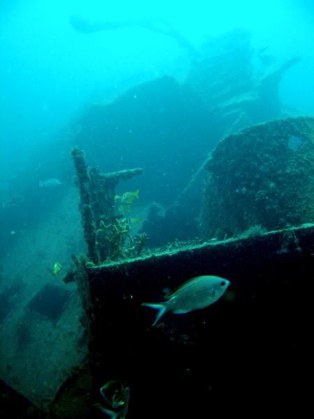
Mercedes I
Fast Facts: Features: Need Gear? Download all Fort Lauderdale GPS Coordinates The most famous of Fort Lauderdale’s wrecks is the 198-foot freighter Mercedes I. She received national attention, when on Thanksgiving Day in 1984 during a terrible storm, she lost her anchorage and ran aground against the seawall of an exclusive Palm Beach seaside mansion.…
-

Mary St. Phillips
Fast Facts: Features: Need Gear? Download all Fort Lauderdale GPS Coordinates This 110-foot steel tug, along with another 130-foot barge, was sunk in 1993 to form an artificial reef. Mary St. Phillips, also known as Mariner II tug, was built in 1943 and used to tow petroleum barges. The sunken barge was initially used for…
