Featured Spots
- NormanniaFast Facts: Features: Need Gear? Download all Wilmington GPS Coordinates The Danish freighter, Normannia, served less than thirty years before meeting its demise on the Frying Pan Shoals forty miles… Read more: Normannia
- MarkhamFast Facts: Features: Need Gear? Download all Wilmington GPS Coordinates The Markham is a US Army Corps of Engineers dredge that was sunk in the Artificial Reef area AR-386 close… Read more: Markham
- HydeFast Facts: Features: Need Gear? Download all Wilmington GPS Coordinates The Hyde served as a dredge with the US Army Corps of Engineers in the Gulf of Tonkin during the… Read more: Hyde
In the southern region of North Carolina, the Cape Fear River flows into the Atlantic Ocean at Cape Fear, the most southern cape jutting into the Atlantic. The historic city of Southport lies at the mouth of the river. An hour to the south is Myrtle Beach, South Carolina, and about one hour north is the city of Wilmington, NC, and the communities of Carolina Beach, Kure Beach, and Wrightsville Beach.
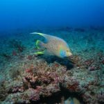
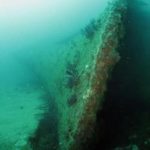
The waters off Wilmington contain numerous historic shipwrecks from the last 300 years as well as several well-maintained artificial reefs. Less than ten miles from shore are ledges and rock piles as well as a World War II Liberty Ship, the Alexander Ramsey. Further offshore are historic wrecks as well as carefully placed tugs, tankers, concrete pipes, and reef balls. As with most of the NC dive spots, divers can expect lots of gamefish, curious sand tiger sharks, and colorful tropicals.


