Fast Facts:
- Average Depth: 20 ft. / 6 m
- Max Depth: 30 ft. / 9 m
Features:
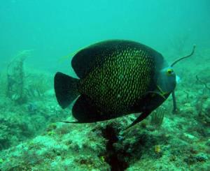
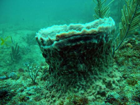
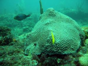
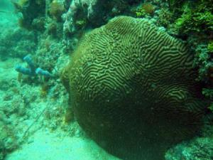
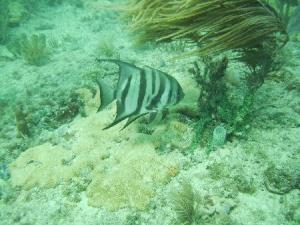
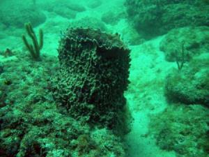
- Coral Reef
- Mooring Buoys
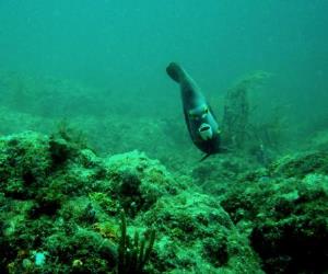
- Good Snorkeling
Need Gear?

A shallow series of ledges located about 2 miles north from the Port Everglades Inlet. A system of 16 moorings mark a broken ledge varying in depth from 20 to 30 feet. This area makes for an easy second after visting the deeper nearby wrecks.
| Waypoint: CAVTLM | Latitude | Longitude |
|---|---|---|
| Degrees | 26.1291666666667 | -80.091 |
| Degrees/Minutes | N 26 7.750 | W 80 5.460 |
| Degrees/Minutes/Seconds | N 26 7 45.000 | W 80 5 27.600 |
Leave a Reply