Category: Pensacola
-
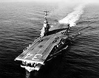
USS Oriskany
Fast Facts: Features: Need Gear? Download all Pensacola GPS Coordinates After nearly two years of delays caused by hurricanes and permitting issues, the USS Oriskany was successfully sunk on May 17, 2006, to become the world’s largest intentionally created artificial reef. Hundreds of boats passed by the “Mighty O” after she was towed to the…
-
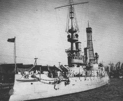
USS Massachusetts
Fast Facts: Features: Need Gear? Download all Pensacola GPS Coordinates Among the largest and most advanced ships of her time, the Massachusetts was a heavy-caliber battleship and one of the first to be assigned a hull number by the US Navy. Officially commissioned on June 10, 1896, The Massachusetts was over 350-feet long, with a…
-

Tug Born Again
Fast Facts: Features: Need Gear? Download all Pensacola GPS Coordinates The 65-foot tug, Born Again, was sunk in 1991 as an artificial reef in artificial reef site #7. The tug sits upright on the bottom in 95 feet of water and its 40 foot tower rises to within 55 feet of the surface. The hole…
-
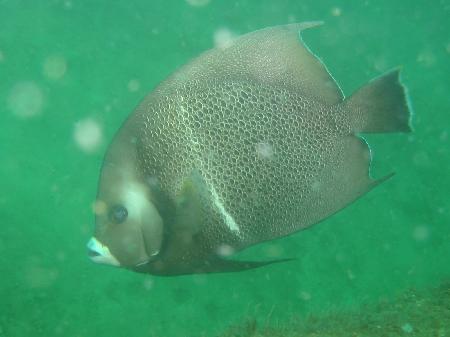
Three Coal Barges
Fast Facts: Features: Need Gear? Download all Pensacola GPS Coordinates In 1974, three 300-foot long coal barges were sunk to form an artificial reef. The site makes an excellent area for safe, easy diving as the wrecks lie end-to-end on the white sand bottom. The tops of the barges lie 15 feet under the surface…
-
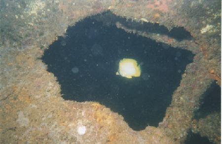
Tex Edwards Barge
Fast Facts: Features: Need Gear? Download all Pensacola GPS Coordinates This large, intact deck barge was intentionally sunk in 1982 as an artificial reef. It lies in 65 feet of water about 6-1/2 miles east of Pensacola pass. Divers can find snapper, grouper, triggerfish, amberjack, and numerous species of tropical fish including blue angels swimming…
-

Tessie
Fast Facts: Features: Need Gear? Download all Pensacola GPS Coordinates Located eight miles south of Pensacola Pass, this 40-foot long cabin cruiser sits in 77 feet of water. Before being sunk to form an artificial reef, her superstructure was removed and her hull was loaded with four car bodies. The wreck is surrounded by concrete…
-
Tenneco Oil Rig (Pensacola)
Fast Facts: Features: Need Gear? Download all Pensacola GPS Coordinates After a 275 mile journey atop a barge, two massive 500 ton structures were used to create an artificial reef, the first to be done using a complete platform. The two rigs, a gift from the Tenneco Oil Company, were sunk in 175 feet of…
-

Sylvia (Tug)
Fast Facts: Features: Need Gear? Download all Pensacola GPS Coordinates Sunk in 1990 as part of the Escambia County Artificial Reef Project, this 65-foot long tug boat sits on the sandy bottom in 82 feet of water, eight miles south of Pensacola pass. As of 2002, the wheelhouse and upper deck have disappeared according to…
-
Soule Barge
Fast Facts: Features: Need Gear? Download all Pensacola GPS Coordinates In 1992, seven groups of 4 foot wide steel towers were welded to the deck of the barge. She was then sunk to from an artificial reef. During the descent, the barge flipped and landed upside-down on top of the tower section in 82 feet…
-
San Pablo / Russian Freighter
Fast Facts: Features: Need Gear? Download all Pensacola GPS Coordinates The S.S. San Pablo was a refrigerated cargo steamer built in 1915 in Ireland. The ship had three decks and a steel hull. It’s length was 315 feet and she had a 4- foot beam. Prior to World War II, the San Pablo was owned…
