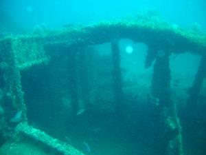
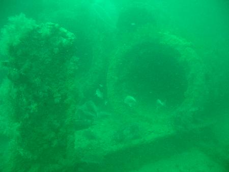
Indian Shores Reef is just over 11 miles from the Clearwater Pass entrance marker #1 and about 13 miles from the John’s Pass entrance marker. This artificial reef was started in 1962 with the placement of 125 pillboxes. The reef now includes three sunken ships, each over 200 feet in length.
In 1976, the U.S. Navy Explosives Ordnance Disposal Team from Cecil Field Naval Air Station in Jacksonville, Florida, filled two World War II Landing Ships (LSMs) with cable and used explosives to sink them in about 45 feet of water. One LSM lies 100 feet west of the center buoy. The other LSM is 100 feet east of the southern buoy. In 1984, a 240-foot salt hopper barge was sunk 200 feet southwest of the northern buoy. The barge is upside-down and is often called the “Upside-Down barge”. See “Dive This Spot” for GPS coordinates for each ship.


| Waypoint: INDSHR | Latitude | Longitude |
|---|---|---|
| Degrees | 27.8615166666667 | -83.0302833333333 |
| Degrees/Minutes | N 27 51.691 | W 83 1.817 |
| Degrees/Minutes/Seconds | N 27 51 41.460 | W 83 1 49.020 |


Leave a Reply